David Escate

GIS Specialist delivering innovative and tailored spatial web applications.

View Projects

About Me

I am a Geographic Information Systems (GIS) specialist with expertise in spatial analysis, georeferenced data management, and the development of interactive platforms and web applications to support strategic planning and decision-making.

GIS Projects

Project 1

Project 1

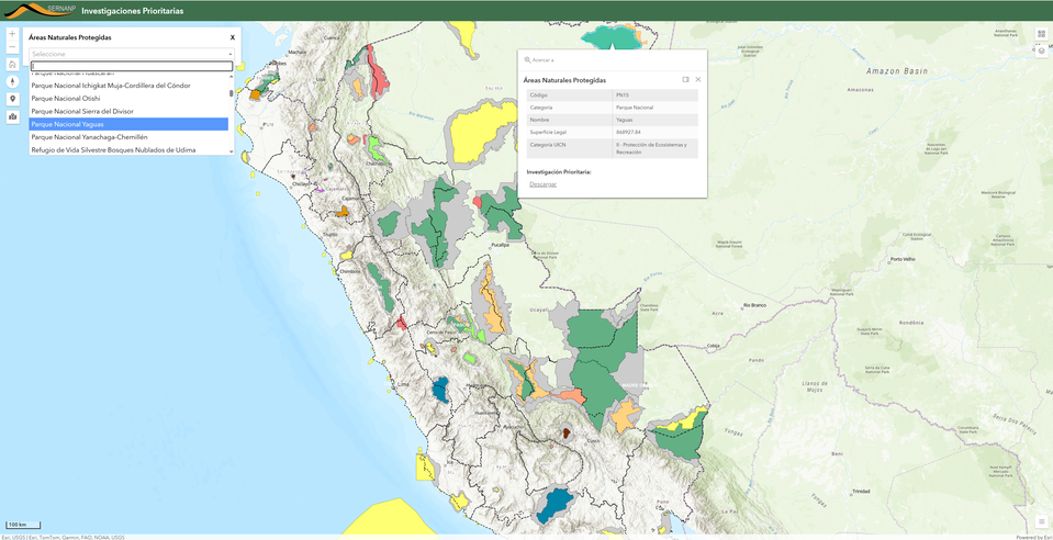
Interactive map displaying protected natural areas and their conservation zones.
Project 2

Project 2

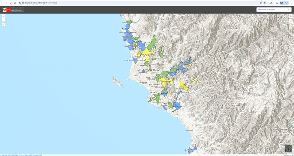
Web viewer showing potable water and sanitation project components.
Project 3

Project 3

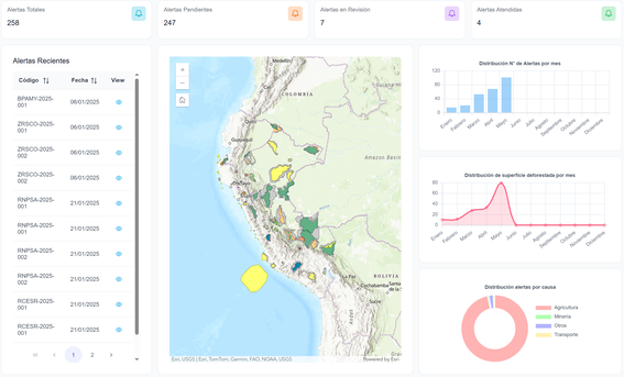
Real-time map visualizing satellite-detected deforestation alerts.

Take a Look

Explore global airports using a real-time interactive map.

Project Plans

Basic

Perfect for small projects with defined requirements.

$250

  • ✔ Basic visualization
  • ✔ 1 to 3 GIS layer
  • ✔ Summary report
Choose

Intermediate

For medium-sized projects with complete analysis and reports.

$500

  • ✔ Interactive visualization
  • ✔ Up to 5 GIS layers
  • ✔ Full technical report
Choose

Custom

Tailored solutions according to client requirements.

On request

  • ✔ Personalized visualization
  • ✔ Unlimited GIS layers
  • ✔ Advanced reports & dashboards
Choose

Contact

Interested in collaborating on a GIS project? Let's talk.

Send Email